Started on Sep 30, 2026.
 Brazil todayLive
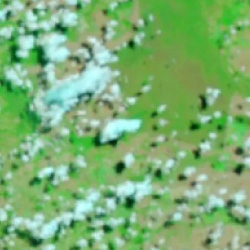
Yesterday's image: fire shows in orange and red. NASA MODIS
Red dots: heat detected by satellite in the last 48h. NASA FIRMS
Satellites are picking up an intense heat signature from an active wildfire burning near Costa Rica, Brazil, driven by conditions typical of the region's fire season which runs from August to October. Having started on September 30, 2026, the fire has maintained a trajectory that encompasses 25 heat detections over the past 48 hours, highlighting a cluster of activity nearby that illustrates how far the incident has spread.
The active blaze has consumed a total of 580 hectares, equivalent to 1,433 acres. This event unfolds within a national landscape where 7,845,359 hectares have burned so far in 2026, marking a total that is 75% below the country's two-decade average.
In context
This wildfire burned in Brazil for 2 days. In total it burned about 580 ha (1,433 acres) — around 5.8 km².
Close to the tropics, fires tend to follow the dry season and are often linked to land-clearing rather than a single summer peak.
The bigger picture in Brazil
Across Brazil, roughly 10,112,466 hectares have burned so far in 2026 — 67% below the two-decade average. Data from Copernicus GWIS.
We'll email you if it grows, if it gets more contained, or if it goes out.
At most one alert every 6 hours, and only when something changes.
No account. One-click unsubscribe. · Privacy
Community reports
Reports from people near the fire · unverified
Be the first to report what is happening →
Not official emergency information. In an emergency, contact fire services/authorities.
More fires in Brazil
- Wildfire near TimorActive
- Wildfire near Vila do EngenhoActive
- Wildfire near Curuá (Oct 15)Active
- Wildfire near Amapá (Oct 15)Active
- Wildfire near São Francisco (Oct 15)Active
- Wildfire near ConsolaçãoActive